
Week 1 – Springer to Dick’s Creek Gap
Day 1:
10.5 miles
39,383 steps
Kcal: 1926
Avg blood glucose (BG): 120
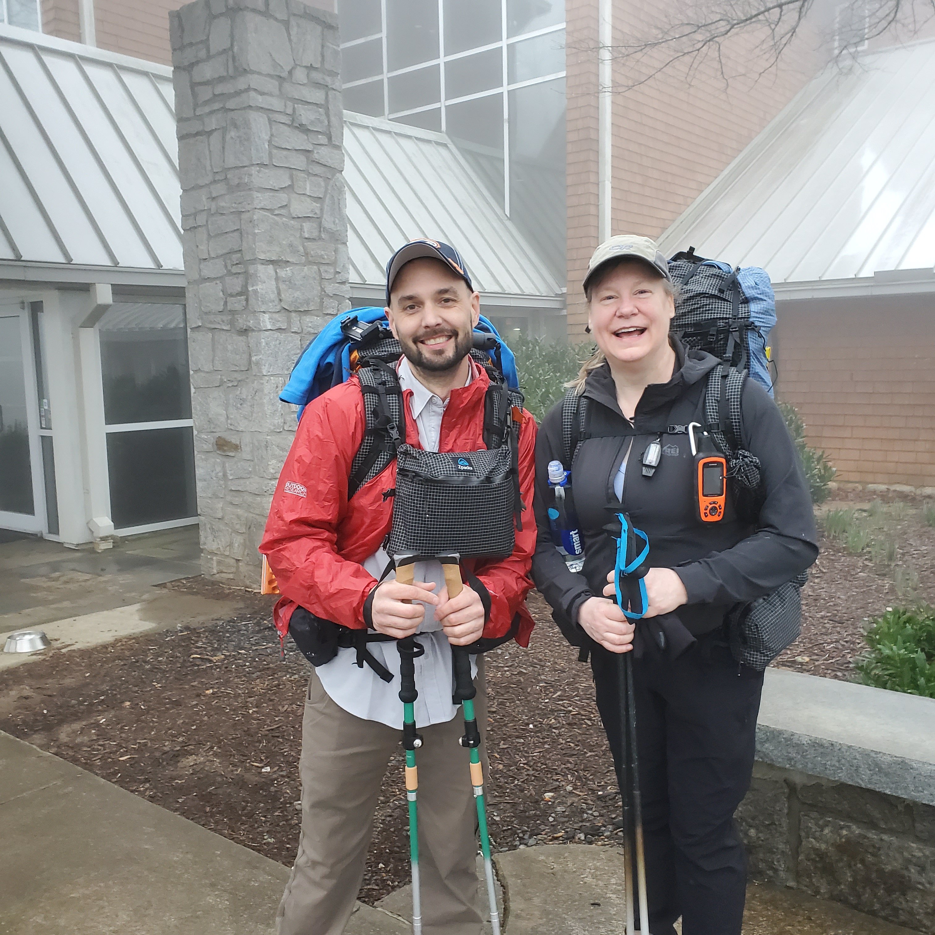
Started out from Amicalola Falls Lodge at 8:30 with James. We met over breakfast and decided to start the adventure together. We hiked together for about 5 minutes before he took a different route. But he caught up to me on my lunch stop.
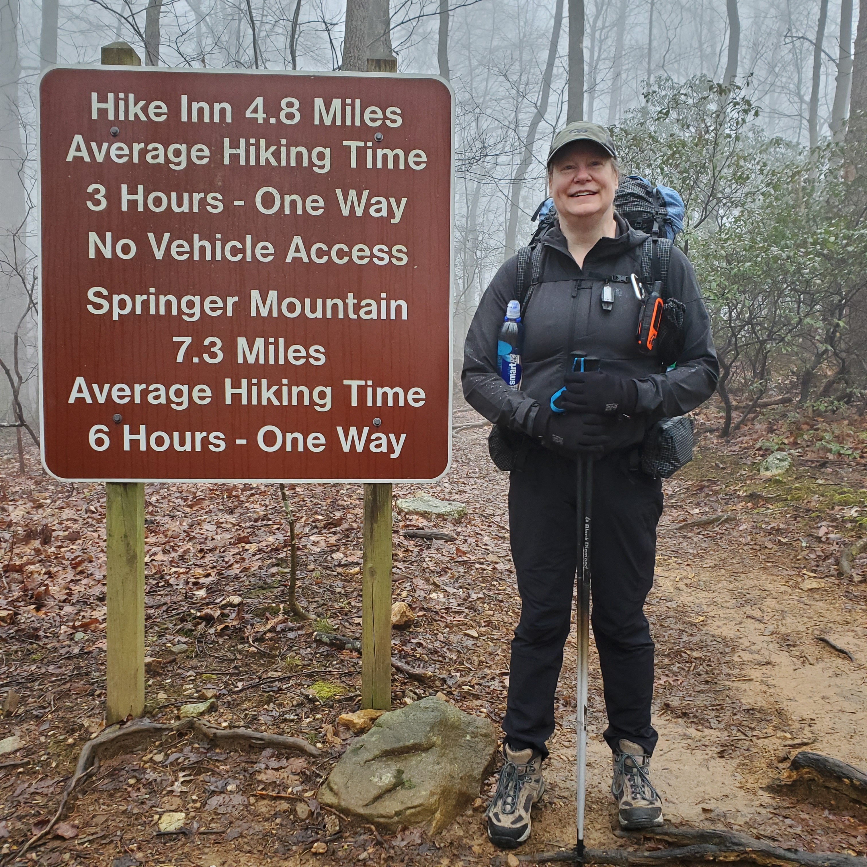
There was drizzle as we started the hike. We reached the summit of Springer Mt just as it began to rain harder.
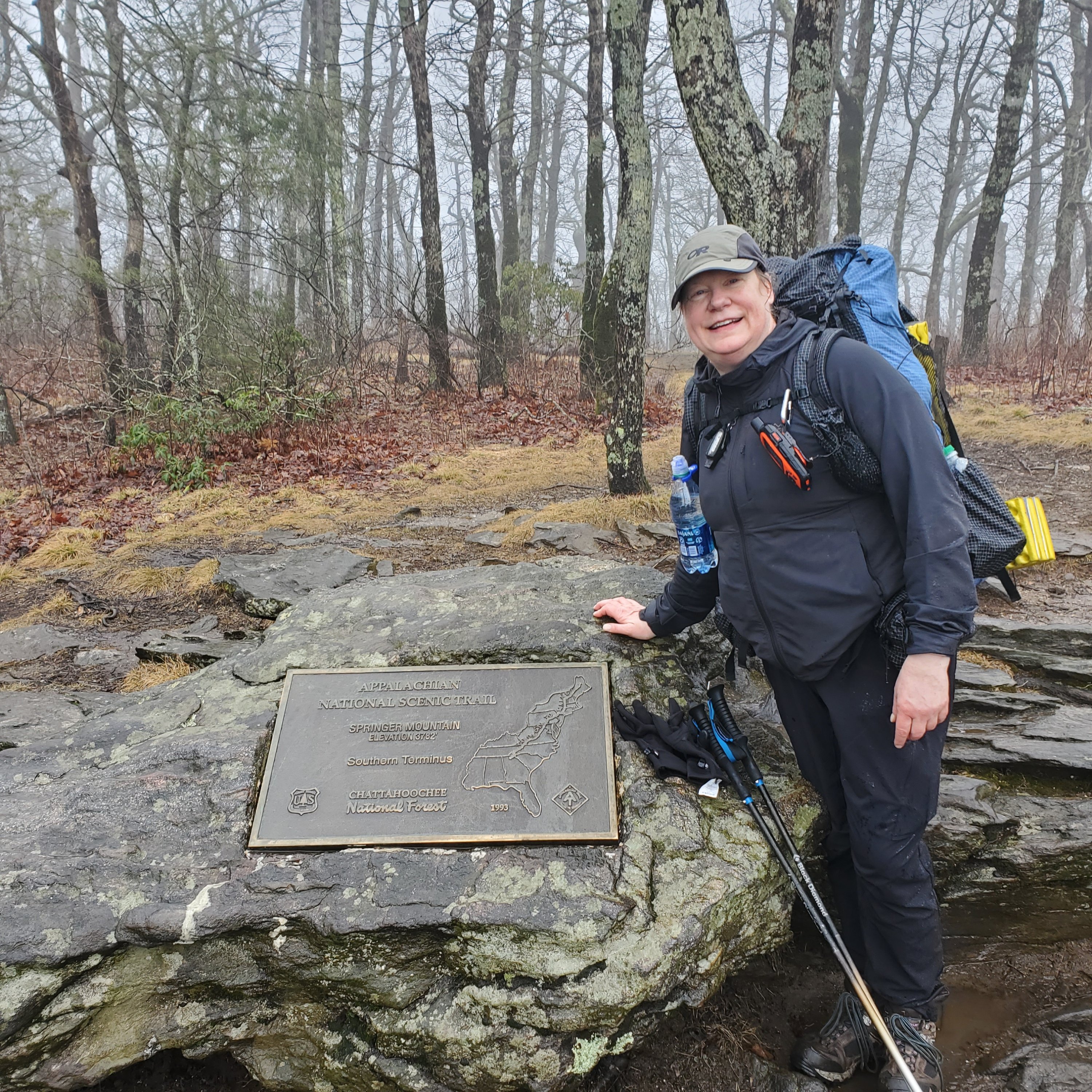
The summit of Springer is the official start of the AT. We continued a few more miles to the Stover Creek Shelter. We were soaked by the time we got there.
There were 8 of us in the shelter that night: Elmer, Caroline, Stefan and his dog Buddy, Simon, Alex, Rex, and me. At the time, Elmer and I were the only ones with trail names.
AT culture is that individuals get trail names. Few people learn your last name. The trail name comes from something you become known for. My trail name is SAM – an acronym for Slow As Molasses. There is a little more depth to just being slow as a hiker. I am slow getting out in the morning (because my meals tend to be more complicated). As molasses warms, it moves more quickly – which is what I hope will happen as the weather warms and I develop my trail legs. There is a location connection – the 100 year anniversary of the Boston Molasses Flood just occurred. And, last but not least – there is the food/sugar connection to my Type 2 Diabetes Mellitus.
Day 2
Miles: 12.9
Steps: 48,236
Kcals: 1885
Avg BG: 114
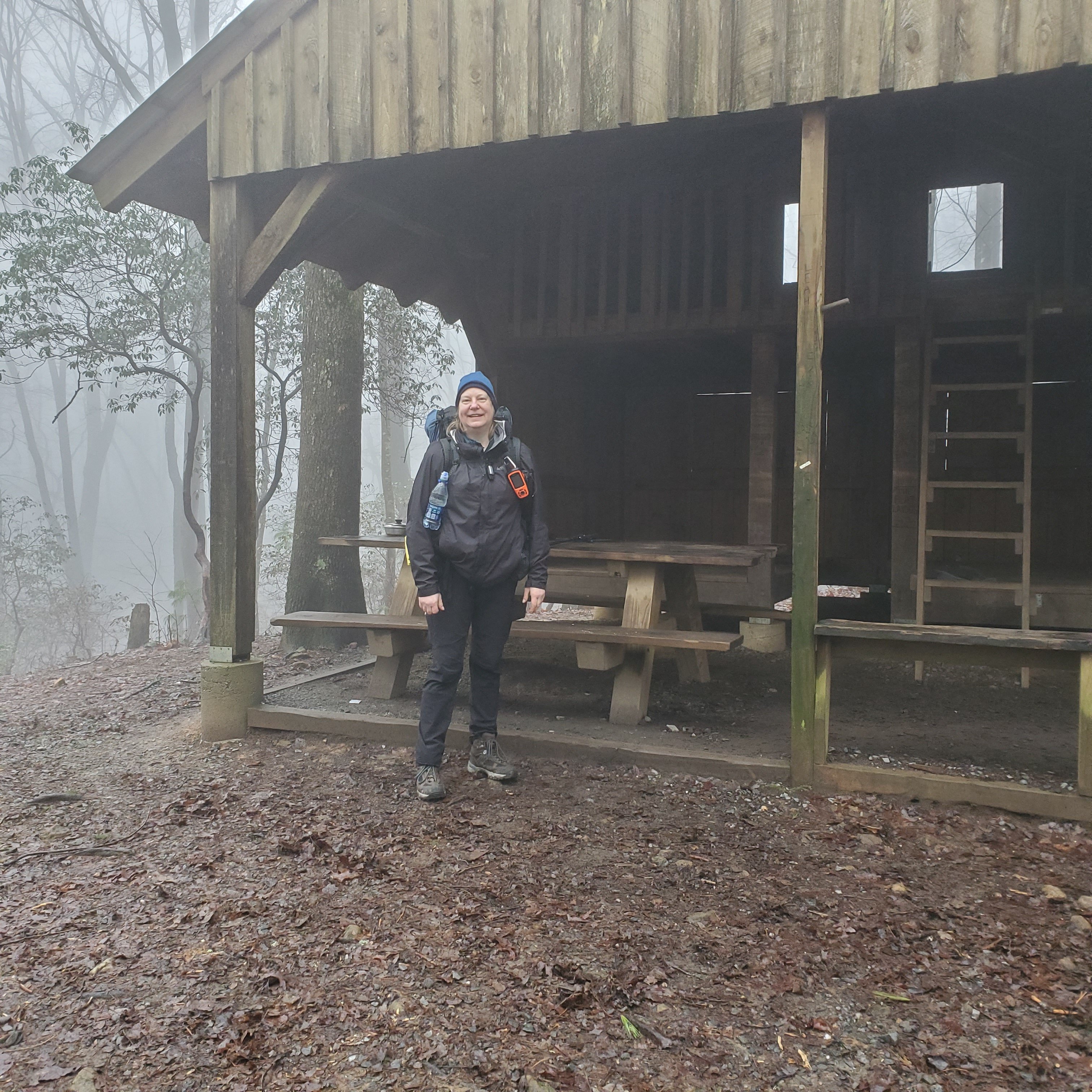
The day started out drizzly and stayed that way. However, there is a beauty to the trail in the mist.
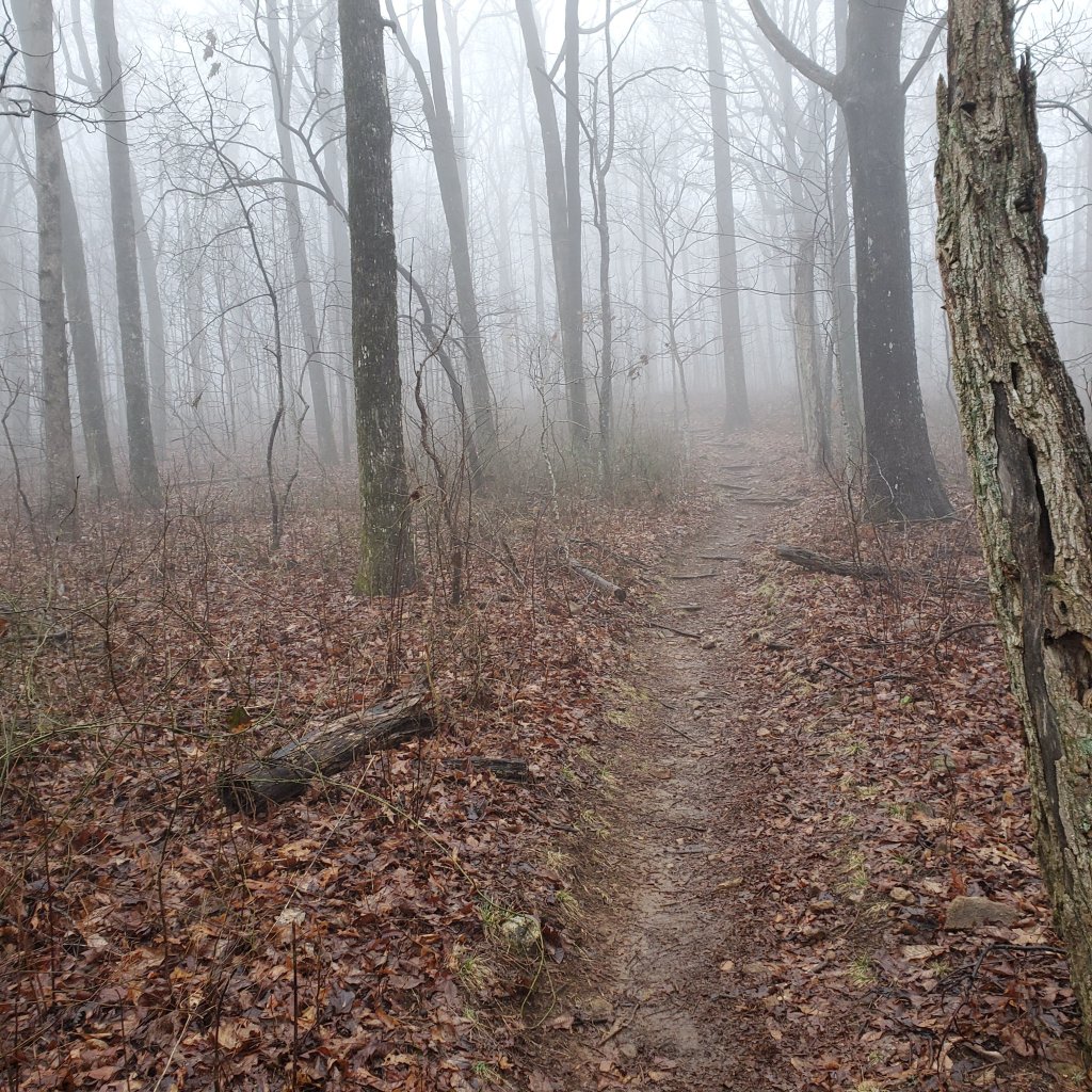
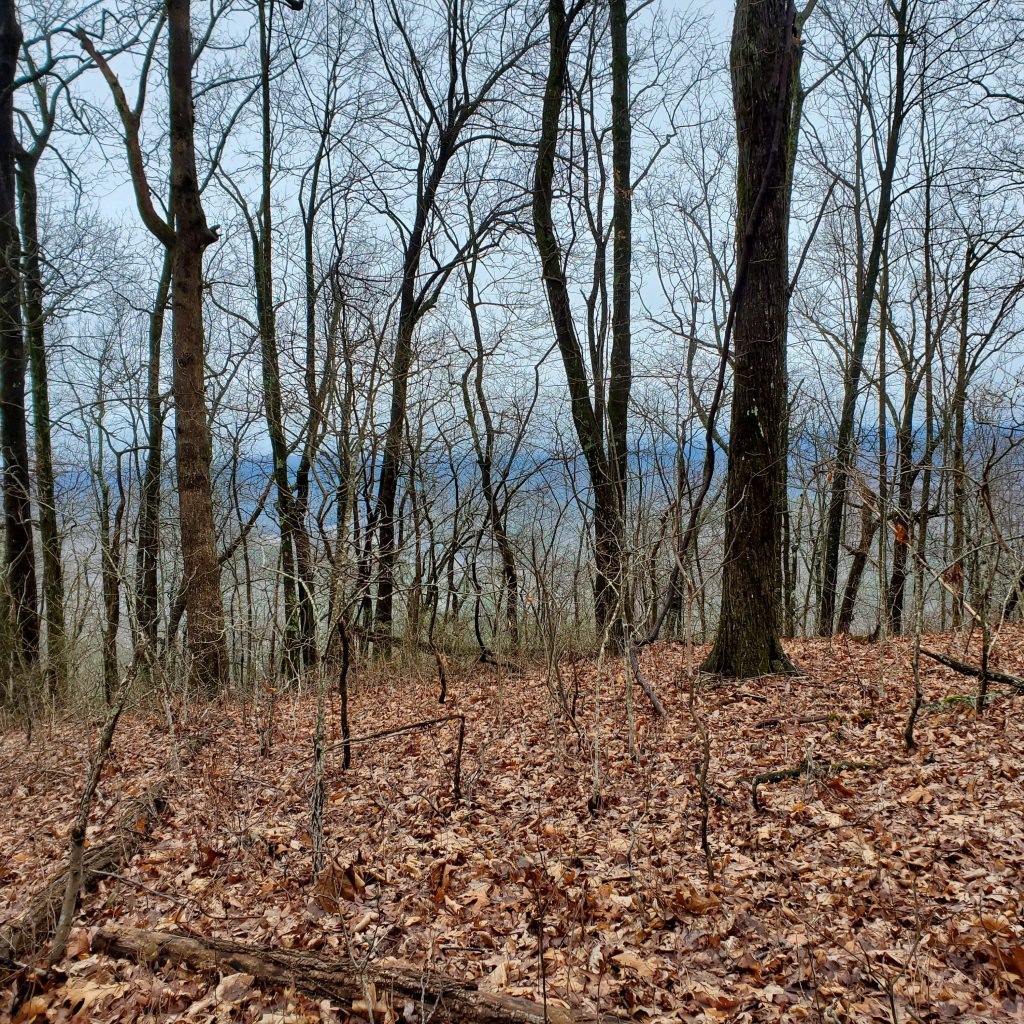
James and I continued to hike together on Day 2. Caroline joined us in the early afternoon and stayed with us as we headed into Gooch Shelter. We were greeted by a ridge runner who introduced us to the site. There were approximately 25 of us there that night (including all but Elmer from the night before). The shelter was full, so we set up our tents. Katherine (the ridge runner) also gave us an update on the weather. The temperature was going to drop that night. The forecast for the following day was snow and freezing rain. She let us know the options for getting shuttles out if we wanted to get off trail the next day.
Day 3
Miles: 4.9
Steps: 23,451
Kcals: 1629
Avg BG: Sensor failure
Caroline, James, and I have continued to hike together. In AT parlance, we would be tramily (trail + family). We hiked a short day and got a shuttle out due to the weather. We were very wet and very grateful when Brett Eady (trail name Suches) picked us up at 12:30. We had not been at the Barefoot Hills Hotel long when the weather changed to snow.
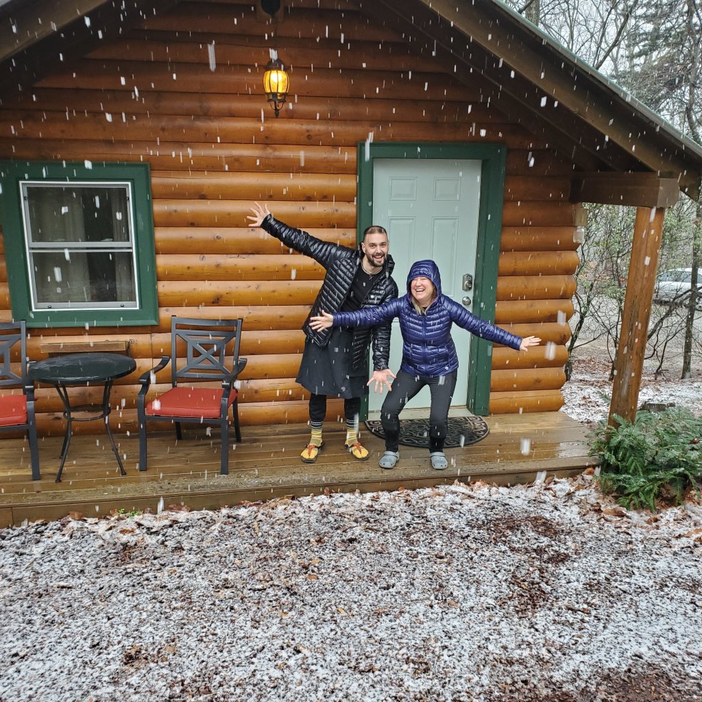
The pizza was excellent – but not the best for blood glucose! My continuous glucose monitor failed that morning. I was changing my Dexcom G6 sensor when the applicator failed. So, I was without a sensor for 2 days until Dexcom could FedEx me a replacement.
Day 4
Miles: 10.7
Steps: 42,094
Kcal: 2205
Avg BG: unavailable
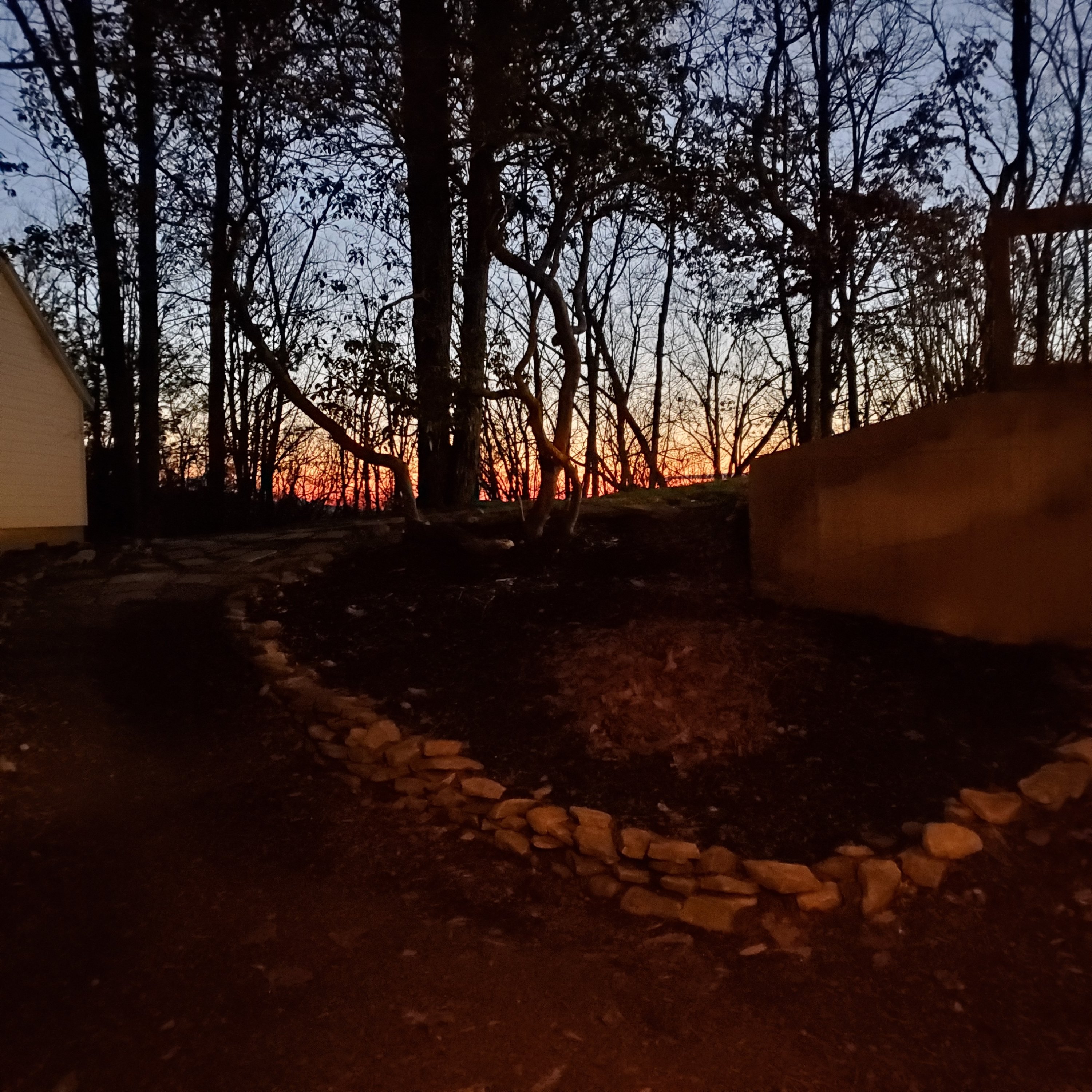
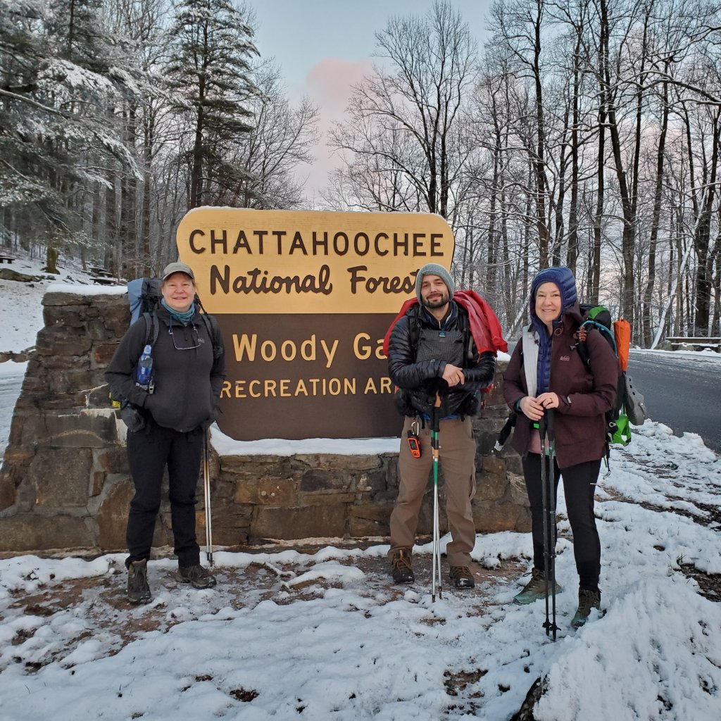
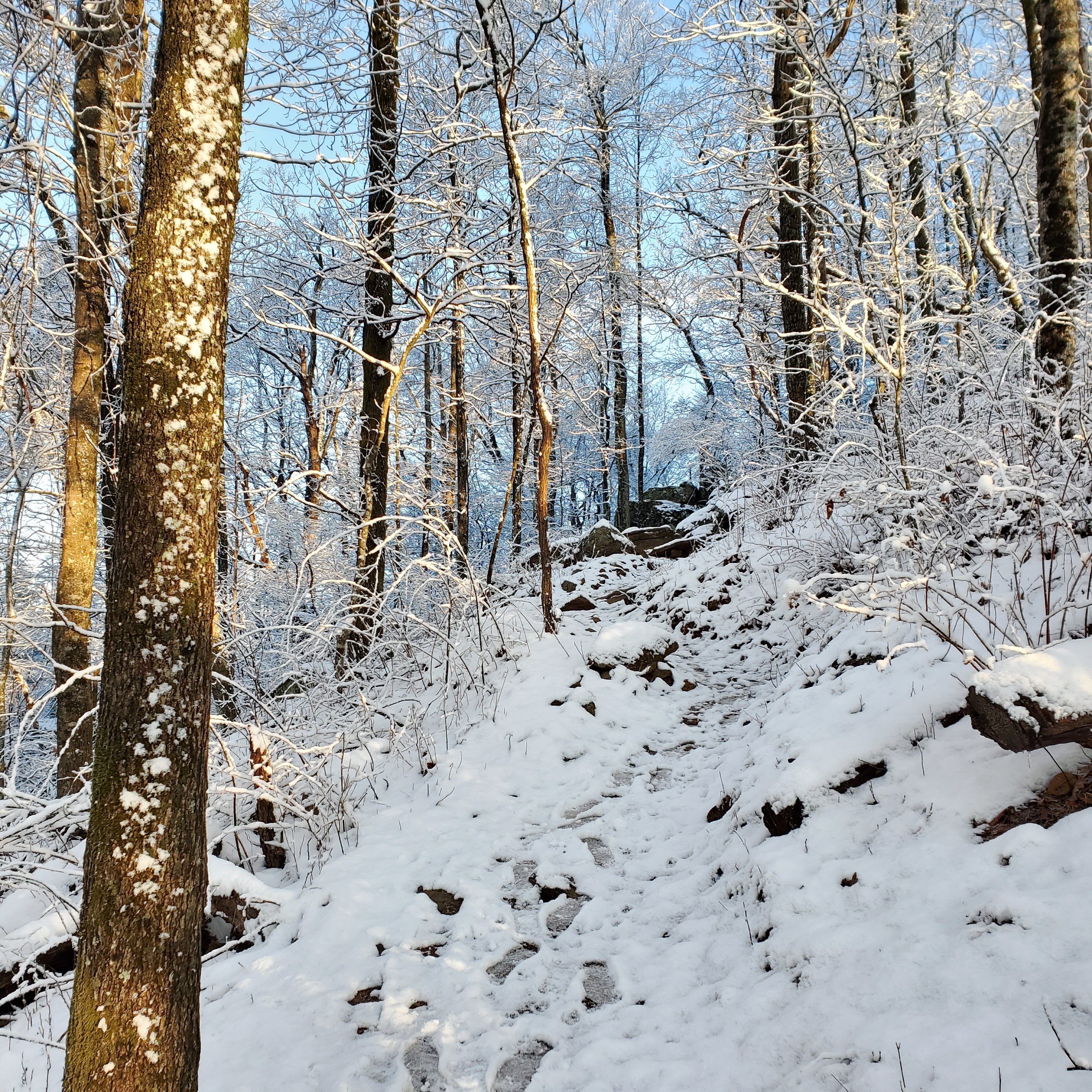
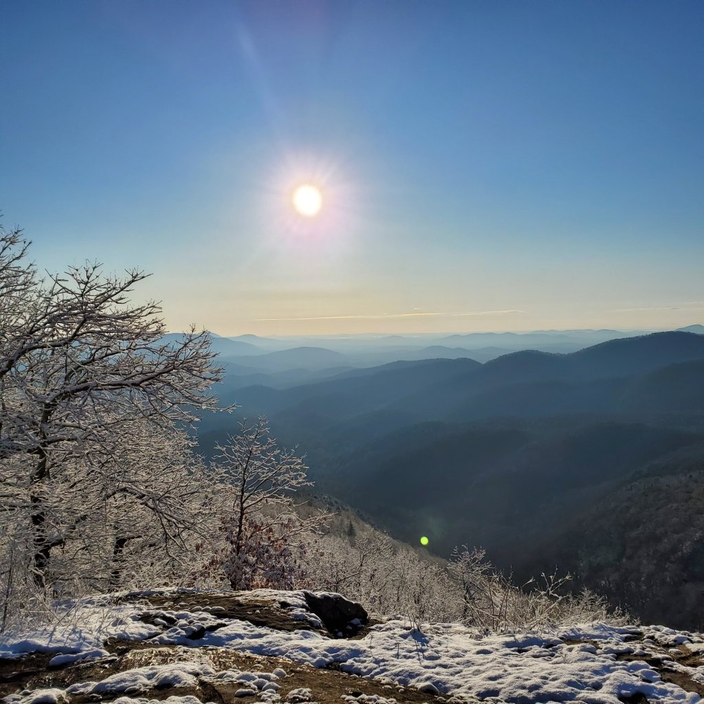
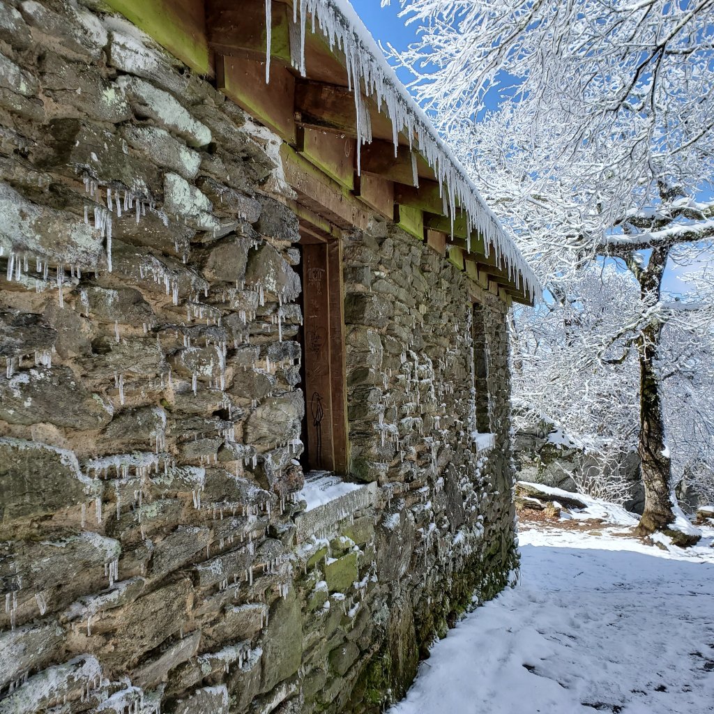
We woke to a beautiful sunrise outside of our cabin. Brett picked us up and took us back to Woody Gap (the location that we got picked up the prior day). We hiked in a winter wonderland. Temperatures were cold to start and warmed up into the 50s by the end of the day. The trail had a light dusting of snow and the cold temperatures had turned the slippery mud into crunchy terrain.
My biology and geography colleagues would have loved experiencing the microclimates we experienced. Temperatures were markedly different depending on which side of the ridges we were on and as a result, so was the melting of the snow.

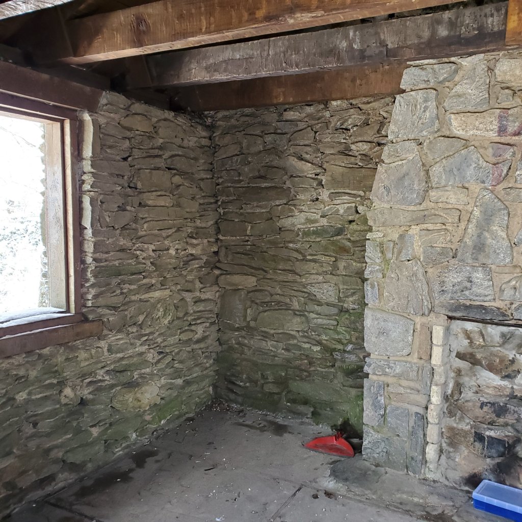
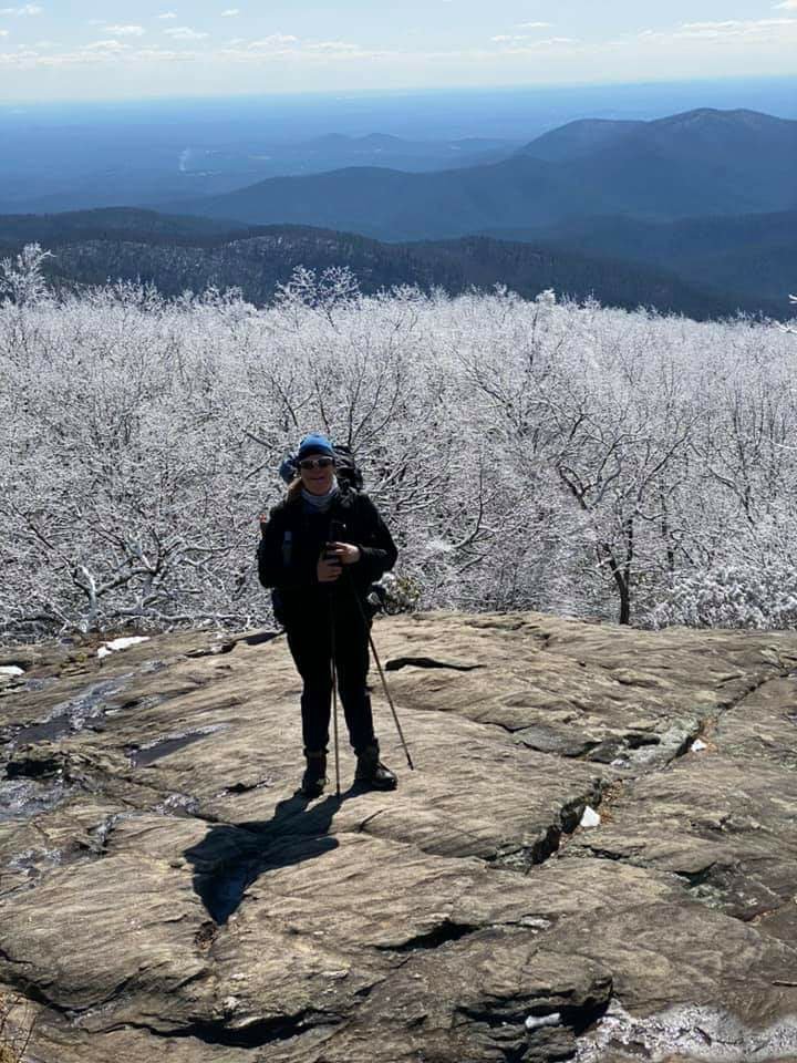
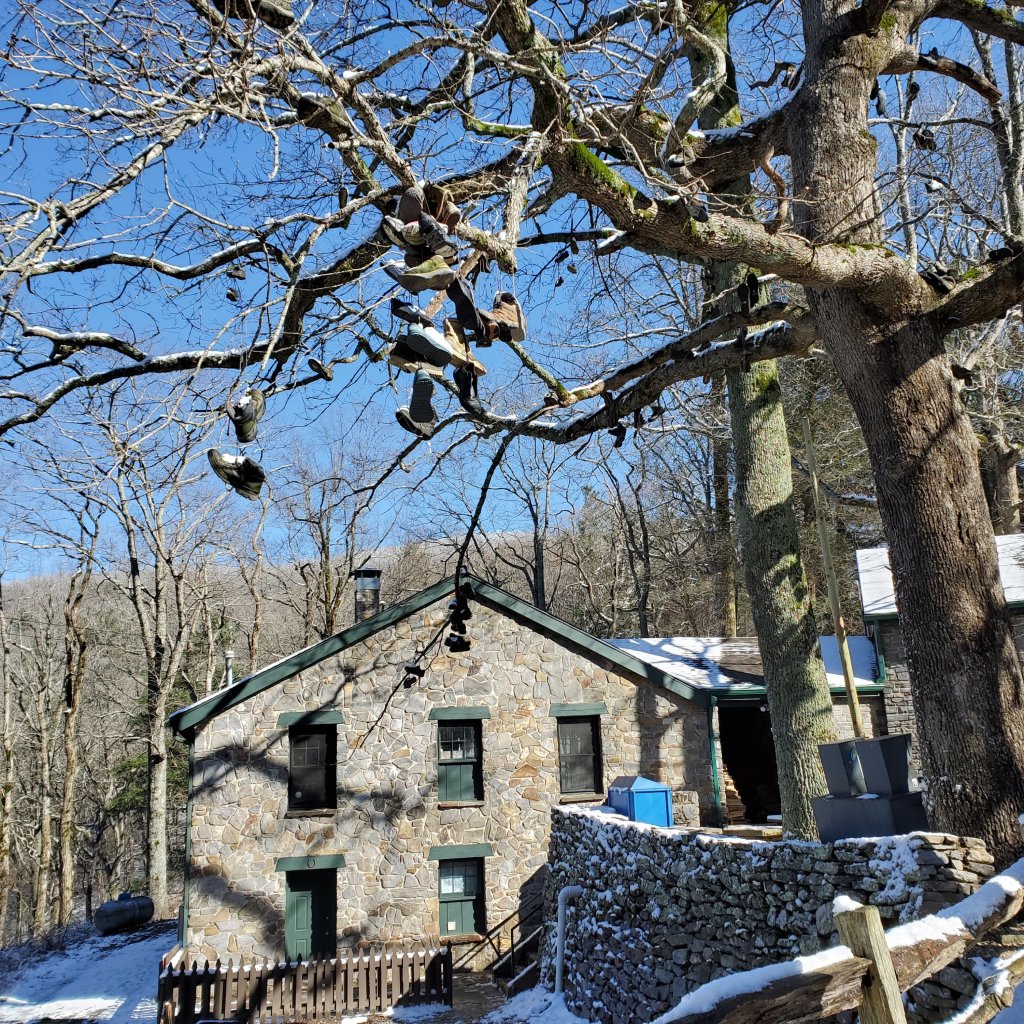
It was a long day with a final climb up and over Blood Mountain. Mountain Crossing is approximately 31 miles into the AT. It is the first location where hikers can resupply or adjust equipment. The trees outside the store and hostel have many boots in the branches. These are the boots of hikers who quit at this point or who need new boots because they are having fit problems.
I am one of those who was suffering from blisters. I have worn these boots for many miles, but apparently the distance and the weight made a difference – I developed blisters on the outside of both my feet and I may lose the toenail on one of my little toes.
Mountain Crossings didn’t have any good boot options for me. So, I ordered new boots from REI – the same brand/style I was wearing – just larger sizes. Unfortunately, I needed to hike another 30 miles and several days before they would arrive in Hiawassee.
At the Mountain Crossings hostel, we met up with Simon, Alex, and Rex. Simon got his trail name – Roadrunner due to his speed when hiking. Alex and Rex became the X-men. Caroline became Serpent. It was good to catch up with other hikers in our bubble.
Day 5
Miles: 11.5
Steps: 44,836
Kcals: 2138
Avg BG: 127
It was a long hike into Low Gap Shelter, but otherwise uneventful. The weather was beautiful and sunny. The shelter was full, so we tented in the vicinity. It was a cold but beautiful night. The stars are so brilliant when there isn’t the light pollution of towns and cities. And we woke to a beautiful sunrise.
Day 6
Miles: 7.3
Steps: 32,240
Kcals: 2209
Avg BG: 135
Again, we had beautiful weather. We had a shorter day hiking to Blue Mountain Shelter – we needed it. We were all sore and got into the shelter early in the afternoon. We didn’t think we were going to make the last steep climb to the shelter.
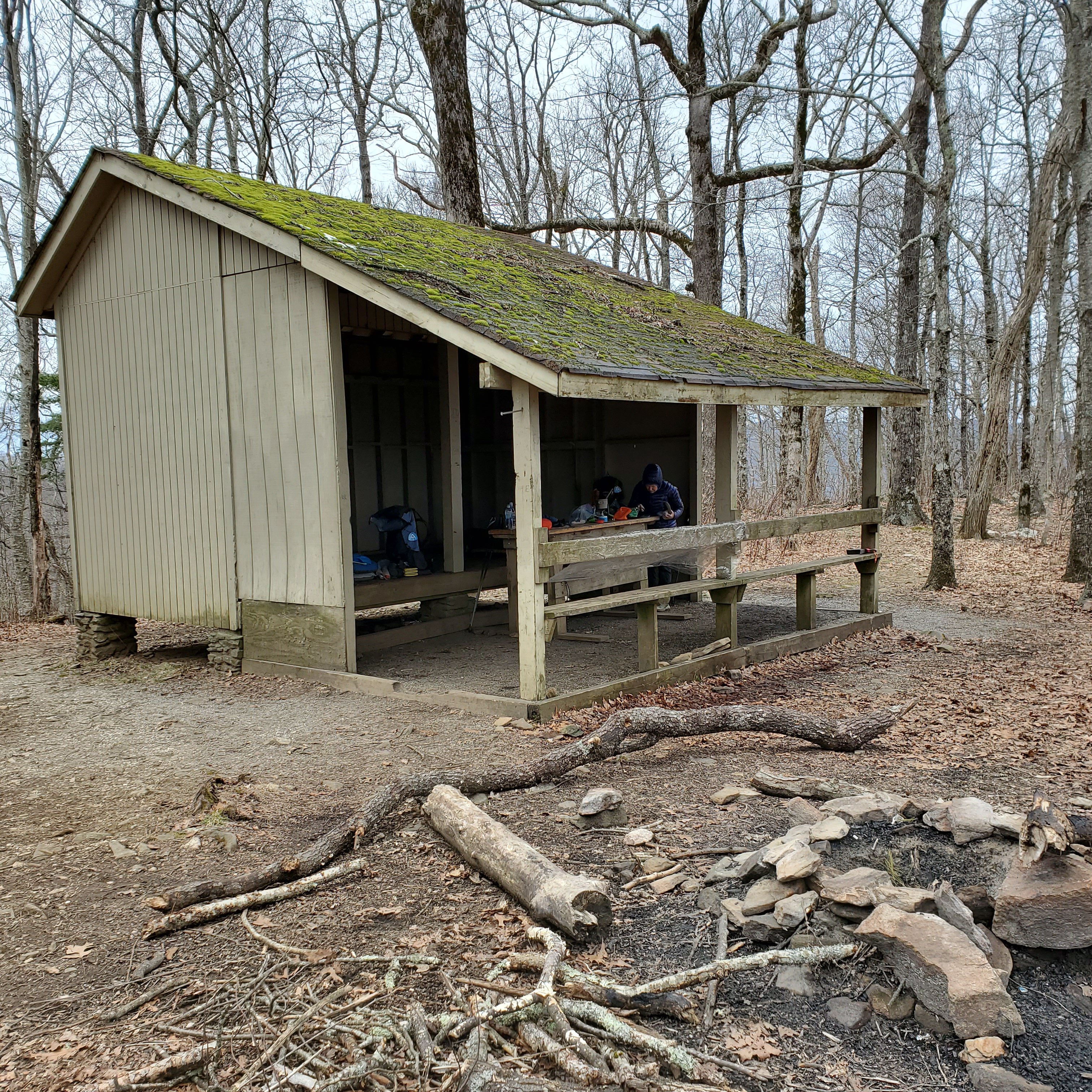
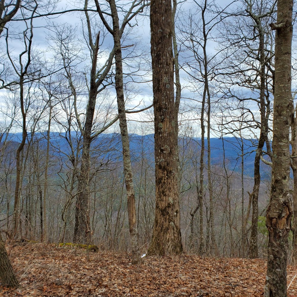
We had a full shelter that night and met 2 SOBO hikers (SOBO = SOuth BOund – from Katahdin, ME to Springer, GA). One had started on June 15 and the other on July 31 of last year. Both had been hiking through the winter. It was very amusing to hear their stories. Both were focused on comfort on the trail and carrying packs that weighed about 45 pounds. And, they no longer hiked in rain.
So, the next morning as we got ready to hike in rain – Sidewinder and Rocknaps (our SOBOs) prepared to hunker down in the shelter.
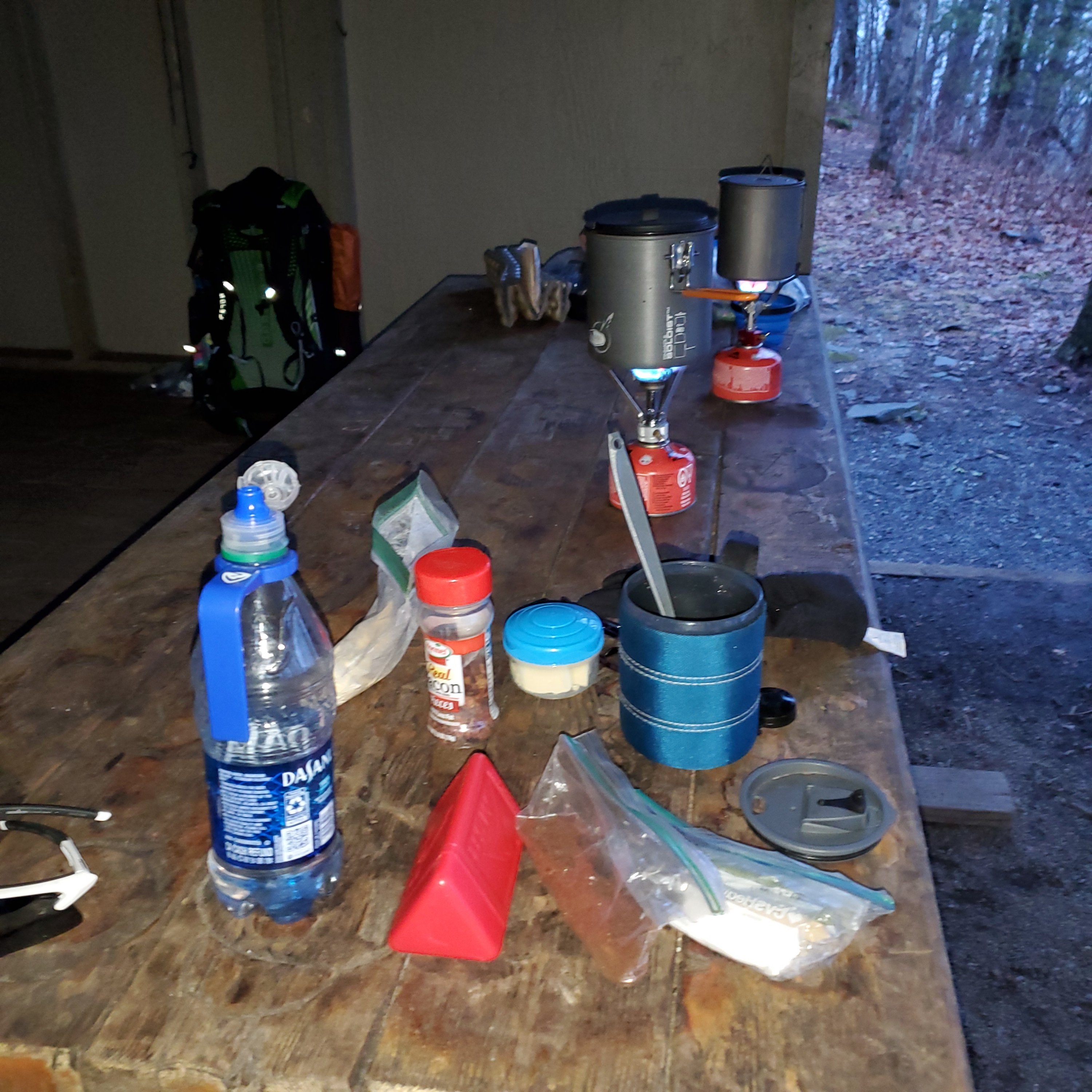
Breakfast preparations – scrambled eggs with bacon and cheese plus coffee. The small ziplock bag has OvaEasy Egg Crystals with heavy cream powder and MCT powder. There is a small jar of Hormel bacon pieces. The small plastic container with a blue lid is butter. In the back you can see the red fuel canister with the stove and a pot above.
Day 7
Miles: 8.1
Steps: 36,296
Kcals: 1990
Avg BG: 117
Another short day into Tray Mountain Shelter – but in the rain. Tray Mountain shelter was awful! The open side was not positioned well and the wind and rain came in. There were 2 tarps that we tried to position to close the gap – but it wasn’t perfect.
And, unlike the other shelters – there was no overhang to keep us dry while we cooked. We huddled in the shelter trying to stay warm.
58.2 miles down!

